UN
8 Appletree Drive
£ 212,000
Description
We don't have a Description for this property.
- Bedrooms
- 4
- Bathrooms
- 0
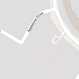


Leaflet © OpenStreetMap contributors
The heatmap indicates the level of crime in the area. The color of the heatmap indicates the crime severity and recency.
Metrics Year-on-Year
- Average area value
- 761,083.00 £Increased by 6.90 %
- Average area rental value
- 2,056.00 £/moDecreased by 3.34 %
- Est rental Yield
- 3.24 %Decreased by 9.75 %
- Crime Rate
- 114.00 %Unchanged by 0.00 %
from 711,963.00 £
from 2,127.00 £/mo
from 3.59 %
from 114.00 %
Nearby Schools
| Name | Type | Ofsted | Distance |
|---|---|---|---|
| Barnham Primary School | Academy Converter | Good | 0.28 KM |
| St Philip Howard Catholic School | Academy Converter | Outstanding | 0.42 KM |
| Eastergate Cofe Primary School | Voluntary Controlled School | Good | 2.36 KM |
| Ormiston Six Villages Academy | Academy Sponsor Led | Good | 2.66 KM |
| Walberton And Binsted Cofe Primary School | Voluntary Controlled School | Good | 2.67 KM |
Images
Nearby Streets
| Name | Average Price | Average Sqft | Distance |
|---|---|---|---|
| Nursery Close | £ 0 | 0 | 0.00 KM |
| Marshall Close | £ 350,000 | 0 | 0.00 KM |
| Farrow Drive. Odd Nos 11-19 | £ 0 | 0 | 0.00 KM |
| Canal Mews | £ 0 | 0 | 0.00 KM |
| Freeman Close | £ 0 | 0 | 0.00 KM |
Nearby Transport
| Name | NLC | TLC | Distance |
|---|---|---|---|
| Barnham | 5252 | BAA | 0.33 KM |
| Bognor Regis | 5253 | BOG | 6.50 KM |
| Ford | 5258 | FOD | 6.95 KM |
Nearby Listings
| Address | Price | Type | Score | Distance |
|---|---|---|---|---|
| Appletree Drive, Barnham | £ 550,000 | BUY | Unknown | 0.00 KM |
| The Cedars, Barnham | £ 725,000 | BUY | Unknown | 0.05 KM |
| Oriel Close, Barnham | £ 525,000 | BUY | 7 / 10 | 0.10 KM |
| Farnhurst Road, Barnham, West Sussex, PO22 | £ 330,000 | BUY | 8 / 10 | 0.13 KM |
| Farnhurst Road, Barnham, Bognor Regis | £ 395,000 | BUY | 7 / 10 | 0.14 KM |
Nearby Properties
| Address | Price | Distance |
|---|---|---|
| 8 Appletree Drive | £ 212,000 | 0.00 KM |
| 10 Appletree Drive | £ 310,000 | 0.00 KM |
| 14 Appletree Drive | £ 375,000 | 0.00 KM |
| 8 The Cedars | £ 470,000 | 0.05 KM |
| 5 The Cedars | £ 480,000 | 0.05 KM |